5.3 inches as of 7am this morn with snow still falling very strongly put the valley over 100 inches for the year finally....
Lots of doom and gloom this season on snowfall and warmth but to put a 100 inches in perspective I go back to the winter of 95/96 where my hometown of Beltsville Md recieved 65 inches which we thought was snowy as Heck!...and up at Damascus,Md where I was staying at the time we had 104 inches for the year..so much that I remember the weather channel sent a crew there to document how much snow had fallen on this EPIC year.........I also remember trudging thru the snow to get to the crew and after talking to them and giving them all kind of snow facts for the area and up at the ski areas around us..Wv alpps included...one dude looked at me and said i needed to get a life...the Friggin Weather Channel!!!##%*&^%#!!
Looks like a powder day here at Snowshoe. 4+ last night and coming down steady at 8 AM
SS only at 79 season to date. Less than half the avg winter
On the Snow shows 59" for CV but the data starts on Jan 1.
http://www.onthesnow.com/ssaa/canaan-valley-resort/historical-snowfall.html?&v=list#view
Their data shows that CV got 13" in Dec 2016 bring the total to 72". Again, not sure where the data comes from. The big problem this year is that as soon it snows, it gets warm and melts. A truly sucky year, regardless of the how much we got.
http://www.onthesnow.com/ssaa/canaan-valley-resort/historical-snowfall.html?&y=2016&v=list#view
Thus link has data from 1944 to 1996....not sure where the gauge is?? Interesting never the less.
Not sure I trust the onthesnow numbers. I know there have been times when I have looked up snowfall that I know occured on a given date, and found 0 reported.
Best snow numbers for Canaan Valley available.
Thanks for the link. I see the measurements are taken at elevation 3700+/-. Thus the higher elevations could get even more.
I don't know where the On the Snow numbers come from? I am sure it varies alot based on location.
Let's bring back 2010/11 ---268 inches! Amazing year.
snowsmith wrote:
My Dogs needed Snorkles on their walks (more like Porpoise'ing )..that year... Canaan's main lift sits at 3500' on up to 4268 so Elevation is the bonus with the bottom of the lift 500 feet higher than the top of wisp but the latitude is still hard to overcome at times.. Snowshoe Measures from 4800' ...Weiss Knob up at 4500 just above the Canaan top lift and surrounding Nat Nordic is the real deal....probably averaging just shy of 200 inches a year...Mount Porte Crayon just to the South of Canaan at almost 4800' gets 200+ a year for sure...I see it snow and cloud covered all day many times when the Valley just has light puffy clouds cruisin by..Thanks for the link. I see the measurements are taken at elevation 3700+/-. Thus the higher elevations could get even more.
I don't know where the On the Snow numbers come from? I am sure it varies alot based on location.
Let's bring back 2010/11 ---268 inches! Amazing year.
Yes, my poor Jack Russels, Leo and Barney, would disappear. I remember one Friday night pulling up to my house only to find my front door and windows were buried. I waded up to the house wearing my office clothing, in chest deep snow only to find that my snow shovel had been stolen😡. We received 25" of snow that weekend. I could not see out of my first floor windows. The snow plows ran out of places to pile the stuff. The last 2 years have sucked. I'm off to Killington tomorrow and I am hoping for some good conditions. And a encore for 2010/2011.
This looks like retired meteorologist Dave Lesher's site!
starting next friday and then overnight saturday into sunday is starting to look interesting for maybe the Grand finale for Canaans lift serviced skiing...I just took a look at the latest GFS...thats all im looking at.but it seems to be trending snowier from previous model runs...hope it pans out and some of uall will be grinning ear to ear next weekend!...
month late too many dollars short?....
Friday03/1038 | 19 °F
Friday 60% Precip. / ~ 1 in
Rain and snow showers in the morning transitioning to snow showers for the afternoon. Temps nearly steady in the mid to upper 30s. Winds W at 5 to 10 mph. Chance of precip 60%. Snowfall around one inch.
Friday Night 20% Precip. / 0 in
Cloudy skies early, then partly cloudy after midnight. Low 19F. Winds NW at 5 to 10 mph.
Saturday03/1132 | 24 °F
Saturday 60% Precip. / 1-3 in
Partly cloudy skies during the morning hours will give way to occasional snow showers in the afternoon. High 32F. Winds NE at 5 to 10 mph. Chance of snow 60%. 1 to 3 inches of snow expected.
Saturday Night 60% Precip. / 1-3 in
Variably cloudy with snow showers. Low 24F. Winds ESE at 5 to 10 mph. Chance of snow 60%. 1 to 3 inches of snow expected.
Sunday03/1232 | 18 °F
Sunday 60% Precip. / 1-3 in
Snow showers. High 32F. Winds W at 5 to 10 mph. Chance of snow 60%. Snow accumulating 1 to 3 inches.
Sunday Night 20% Precip. / 0 in
Cloudy skies early, followed by partial clearing. Low 18F. Winds WNW at 5 to 10 mph.
Monday03/1334 | 27 °F
Monday 20% Precip. / 0 in
Cloudy early with partial sunshine expected late. High 34F. Winds SSW at 5 to 10 mph.
Monday Night 30% Precip. / < 1 in
A few snow showers early will give way to a mix of wintry precipitation overnight. Low 27F. Winds S at 5 to 10 mph. Chance of precip 30%.
Tuesday03/1439 | 22 °F
Tuesday 60% Precip. / < 1 in
Rain, freezing on some surfaces in the morning. Then showers of rain and wet snow in the afternoon. High 39F. Winds SW at 10 to 15 mph. Chance of precip 60%.
Tuesday Night 60% Precip. / 1-3 in
Snow showers. Low 22F. Winds W at 10 to 15 mph. Chance of snow 60%. 1 to 3 inches of snow expected.
Wednesday03/1535 | 24 °F
Wednesday 60% Precip. / < 1 in
Mainly cloudy with snow showers around in the morning. High around 35F. Winds WNW at 10 to 20 mph. Chance of snow 60%. Snow accumulations less than one inch.
Wednesday Night 60% Precip. / 1-3 in
Variably cloudy with snow showers. Low 24F. Winds W at 10 to 15 mph. Chance of snow 60%. 1 to 3 inches of snow expected.
From Bob Leffler this morning:
"Early Peek at Next Weekend: Unsettled and cold with the possibility of a major winter storm developing on the heels of the departing Friday disturbance. Significant rain or snow is possible. This system bears close watching and has the potential to deliver the largest snowstorm of the winter but it's way-too-early to get excited with it being 5 plus days out. The potential storm could disappear with the next computer model run"
fishnski wrote:
starting next friday and then overnight saturday into sunday is starting to look interesting for maybe the Grand finale for Canaans lift serviced skiing...I just took a look at the latest GFS...thats all im looking at.but it seems to be trending snowier from previous model runs...hope it pans out and some of uall will be grinning ear to ear next weekend!...

wxrisk.com is jumping on the band wagon. I hope he's right.
One final trip to SS this weekend

It is likely that I will not be able to ski this weekend, so an epic snowstorm is all but guaranteed.
NEW SNOW: 3" (15" 3 days)
Last Snowfall: 6" 3/15
4000' stake: 12" * 4300' stake: 14"
SEASON SNOW SO FAR: 122"
Not too shabby for march 16th......and it ain't over till the Fat lady in the tight Ski pants sings!

we ended at a meek 125", a little better than 2011-2012 winter with 117". The following 2012-13 winter was record breaking snowfall for feb/march, so we hold out hope and get excited for next year as we always do!
At least this one ended with a bang and gave us powder days to end the trauma! :)

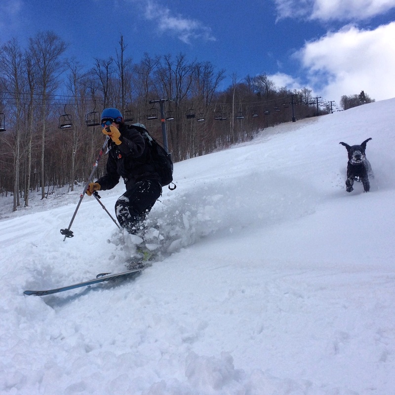
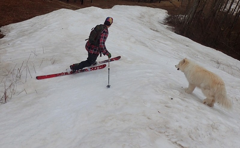
Nice photos Chaga. That is a double black diamond dog!
Beautiful
Ain't over till the Fat Lady in the tight ski pants sings.....another 8 or so inch dump coming aft/eve 6th to late on the 8th?......might be enough for some diehard tracking....adding to the total!
latest gfs adds to the storm....hope to see some good pics soon...ground will be a little warm but it could get interesting....
fishnski wrote:
latest gfs adds to the storm....hope to see some good pics soon...ground will be a little warm but it could get interesting....
let's see some graphics for that claim fish! local news has 'mountain mixing' in the forecast. Intellicast has 6-10 i think...
still a little base left, not top to bottom, but will be skiable top to bottom with 6"

April showers bring May snow?.......could be getting white in a week...Canaan has little Mtn syndrum...it snowed in Denver a couple of days ago...so now canaan has to fight back!....Crazy winter or whatever it was or is trying to be...
Still way above average snow on the ground in the Northern hemisphere so there is still some cold air around....![]()
Looks like 2-4" was on the ground this morning 5/7/17
ParkCrewDrew wrote:
Looks like 2-4" was on the ground this morning 5/7/17
That's wind-blown caked on tree limbs. I saw this same thing outside my window, however what was on the ground was ~1" probably due to the warm ground temps from being 60+ Friday and rain Saturday. Regardless, sure made beautiful scenery.
Hey Fish, yeah I should have went up top and taken a good measurement. I'm ~500ft below so the 1 or 2 deg difference probably made a big difference. Oh well. Any data on how much precip fell as "undeveloped snow" over the same period as the 134" snowfall was recorded? Sure seems like we had many cycles of 2-3 days of snow followed by 2-3 days of rain and wiping out the base.
fishnski wrote:
There was a decent layer down at 3400' per the CV Cam....no oficial obs out of Canaan hts yet....what a day to sleep in!.... Canaan Valley has a shorter growing season than Fairbanks AK....The latest accumulating snow going back 20 years was also during the worst winter...2001/02 saw snow on may 22nd but only had 81.7 total snowfall that year.....hmmmmm...anyway...The Fat lady in the tight ski pants is singing..."its over Johnny!"....about 133 inches this season....
btw, have been in Fairbanks in summer. It looks just like Fayetteville, NC: flat scrubland, dry, big military base. You would not guess that six months later would be brutally cold.
Mr Fish,
you earned a smile!
MorganB

Join the conversation by logging in.
Don't have an account? Create one here.